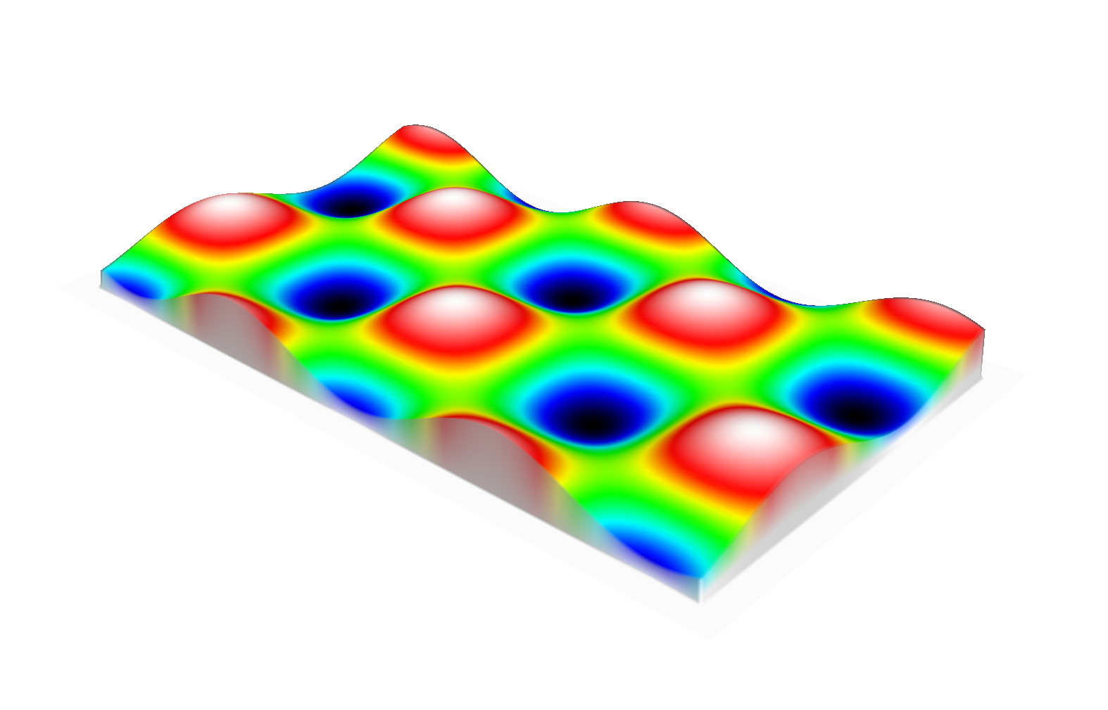
Elevation Map
The Elevation Map (also named Height Map) is 2.5D grid-based map where the value of each cell is an estimated height.
In the Elevation Map the values are stored as doubles. Additional to default grid functionality, e.g. access a grid cell, the Elevation Map offers follower functions:
- calculate normal of the cell
getNormal() - calculate mean elevation of the cell
getMeanElevation()
In both cases the calculation is down over 3x3 neighbourhood of the cell.
(TODO: operation for the projection)